Karabakh Digital Geoinformation System collects information on real estate and infrastructure facilities in the liberated territories in a reliable and centralized electronic environment, as well as from mine clearance, security, management, areas planned, designed and implemented by government agencies, the private sector, legal entities and individuals. Collection, processing and efficient use of information in a single digital space based on the integration of information was established to determine the difference and damage on use planning and measures in the areas of urban planning, settlement, use of natural resources and environmental protection, infrastructure, economic recovery and sustainable development.
The system includes features such as inventory, pre-occupation and comparative reporting, manual or automatic geographic data addition, dynamic reporting, thematic maps, and map comparisons. Use of the system by government agencies was provided through a special state communication network, and a data channel was established through a fiber-optic network with 30 government agencies.
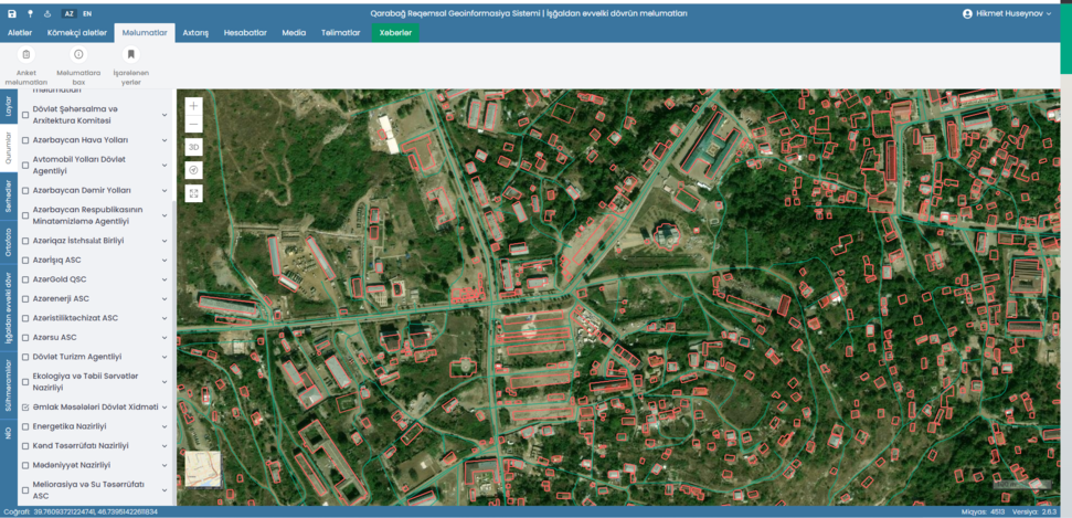
The system includes modules for data entry, services, digital mapping, search, reporting, user and participant management, migration and media file management, and a temporary registry of buildings.
Recently, the system's user screen, admin panel and reports have been translated into english.